- introduction
- historical phases
- map
- elevation chart
- gallery
- slide show
- credits
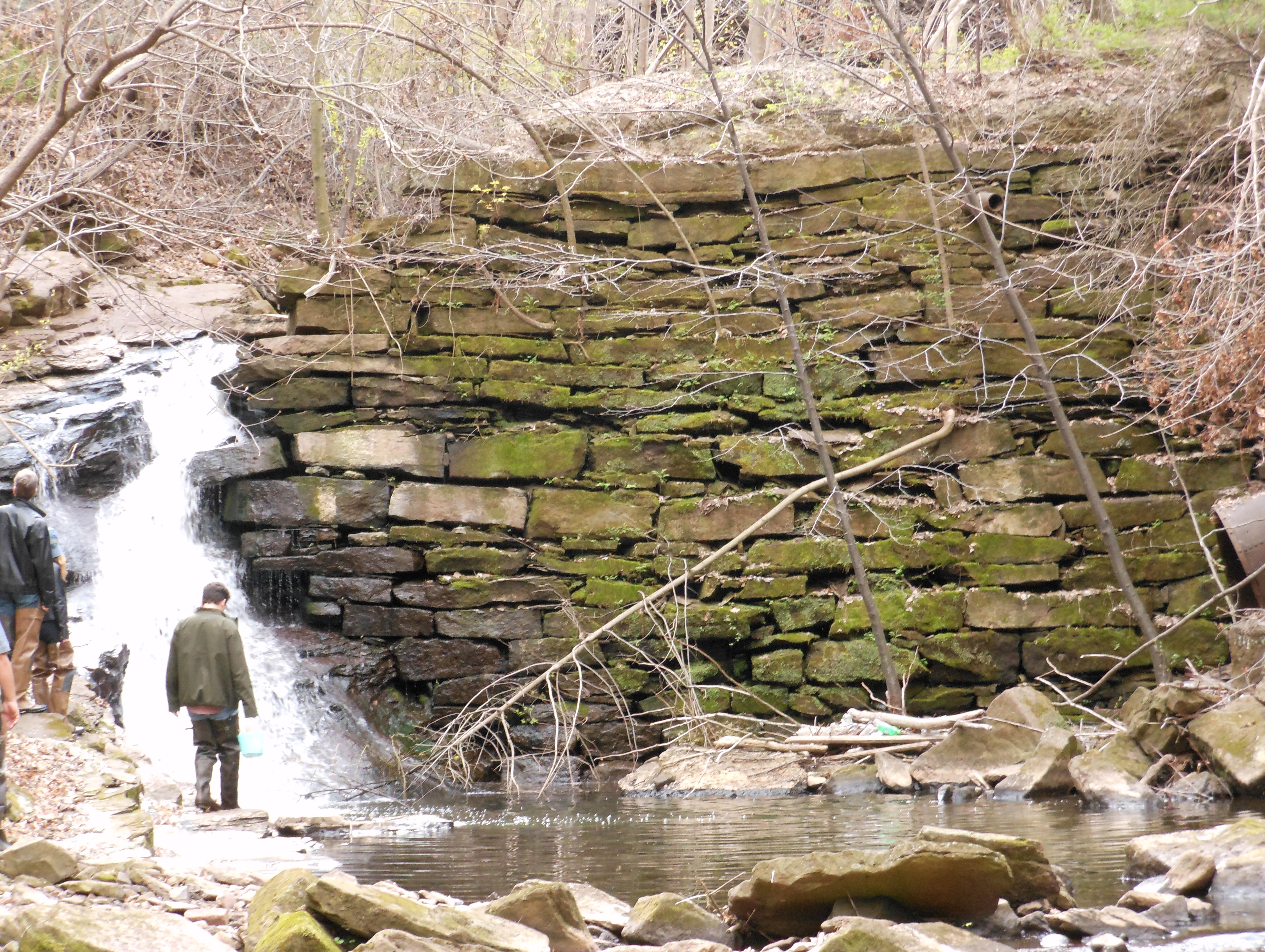 Like many European settlements in New England, Middletown fueled its expansion by building sawmills and grist mills along its most powerful streams and small rivers. Yet by 1800, Middletown was becoming a magnet for early industry: In addition to its hilly interior with ample water-power, it boasted a burgeoning population and a deep-water harbor for trade. Only a handful of cities enjoyed such a combination. Flowing out of Middletown — along with its exhausted water — were textiles, firearms, tools, locks, marine hardware, rubber goods, brakes, and more.
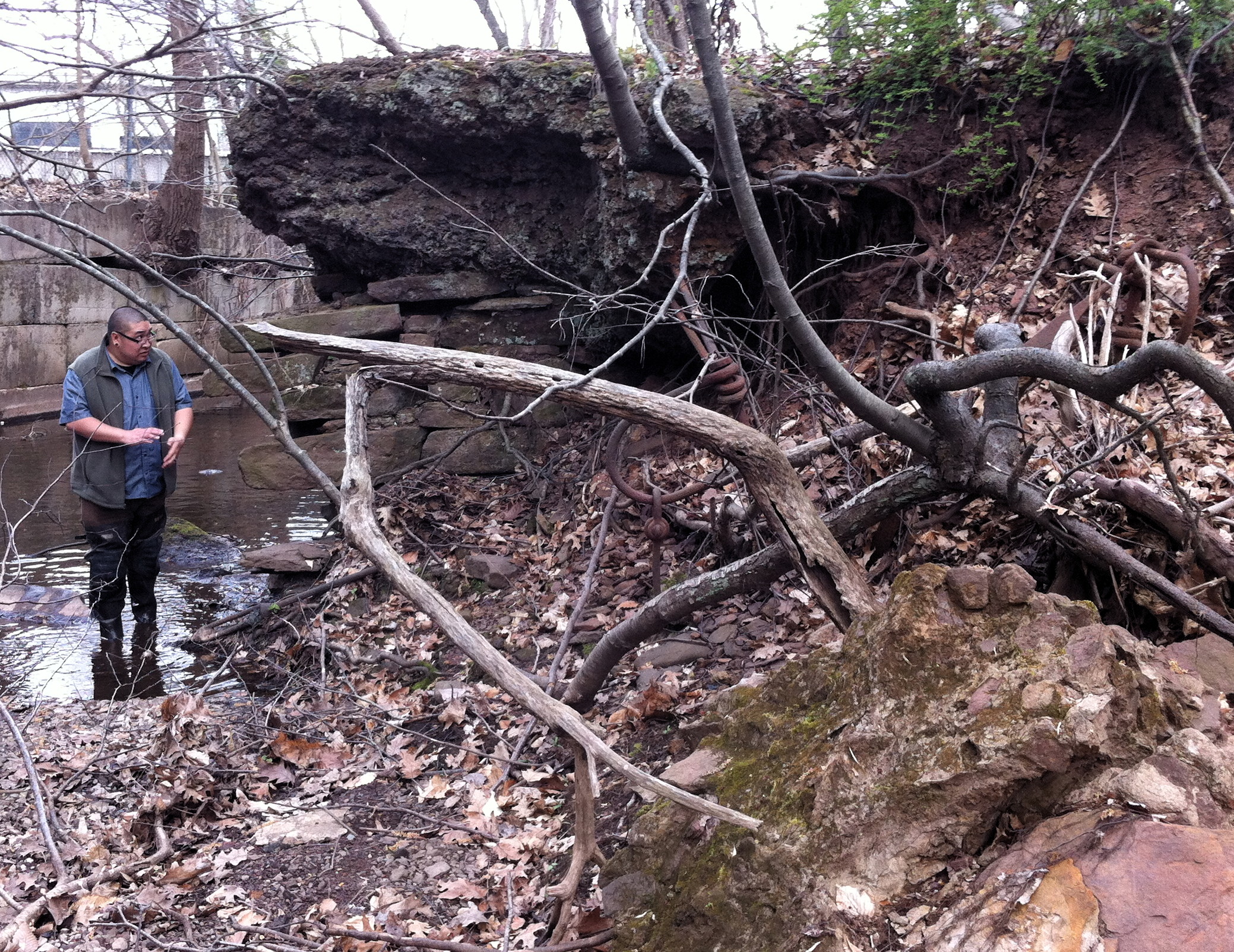
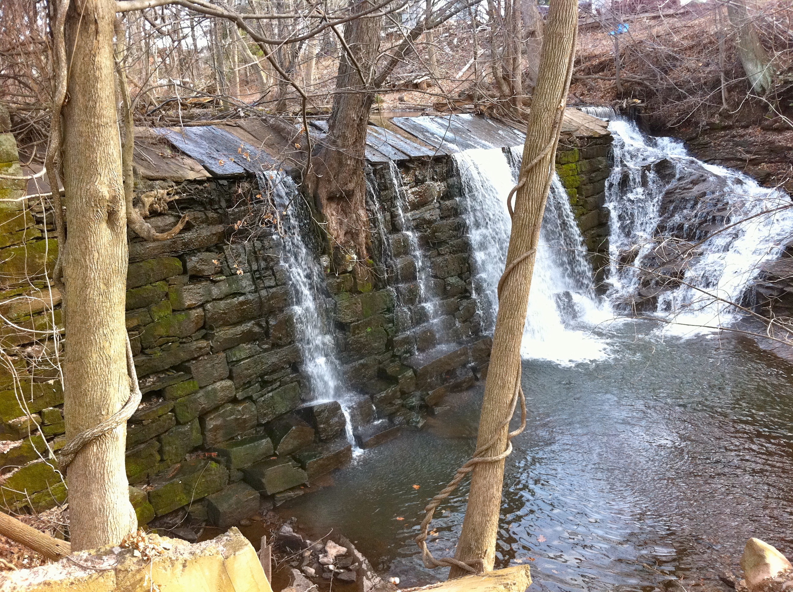
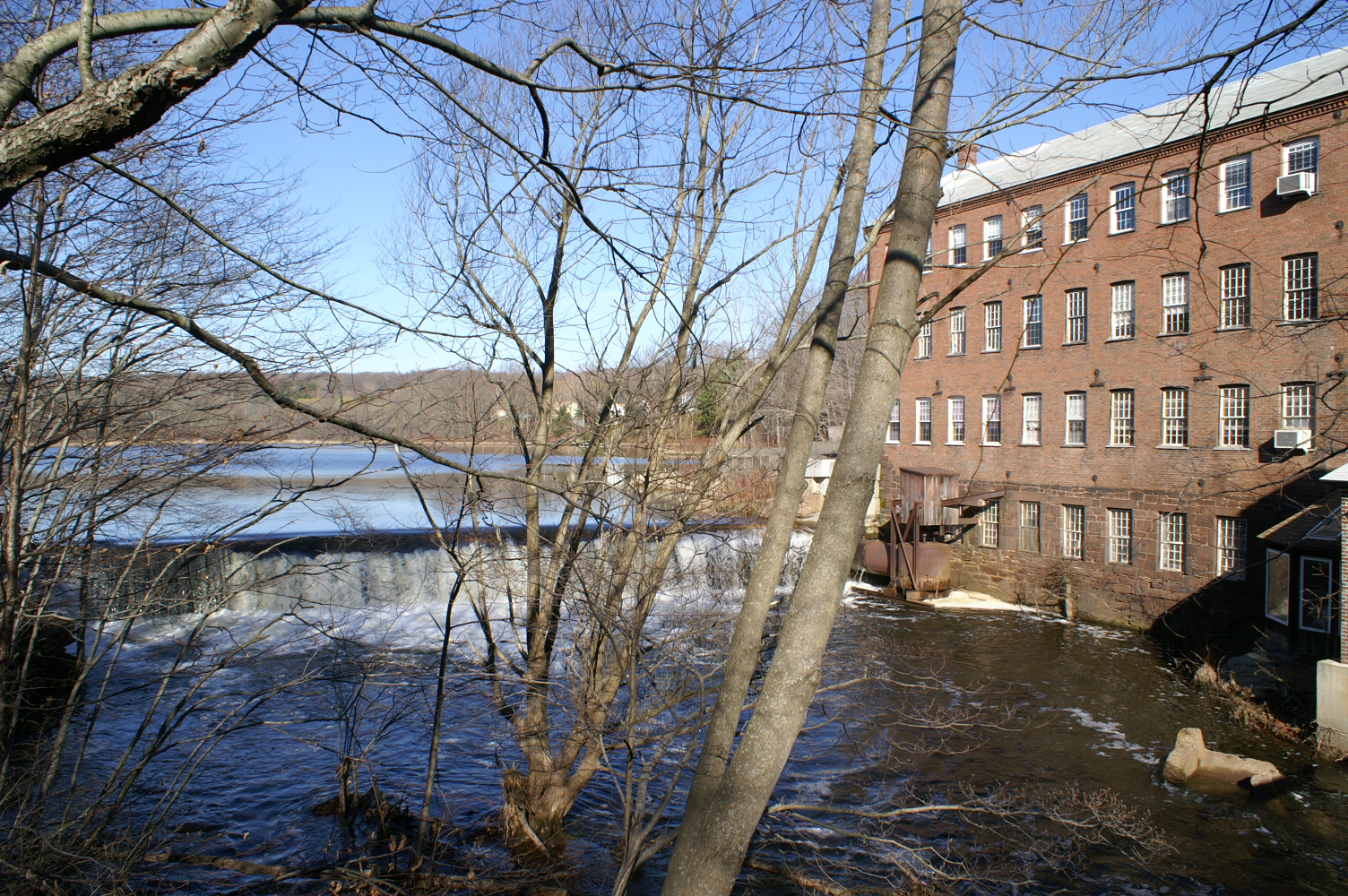
During the era of water power, the Coginchaug and Sumner-Pameacha stream systems each hosted more than a dozen industrial dams. This economic past is visible in the neighborhood of every old mill. Yet the industries have left, the mill buildings have largely been razed, and newer roadways run high above the industrial ravines. Traces of our relationship to water power are thus receding both from living memory and from public view. Yet many of the dams themselves remain, and their ecological and social impact remains complex.
For the Wangunk population at Mattabessett, the Coginchaug and other smaller waterways of the area were ideal locations for fishing weirs; shad, alewife, and salmon were abundant. European settlers in New England, however, treated the construction of a mill as an early step in making an area habitable. The mills soon brought dams -- and with these dams, the nature of our waterways shifted dramatically.
First came the grist mills, since otherwise settlers devoted many hours of animal-driven or manual labor to making digestible flour out of their coarse grains harvests. While earlier inhabitants had long lived without relying on milled and stored grain, inland native foods were seasonally variable, supporting a lower population and requiring seasonal migration within the region.
In 1655, five years after being settled and two years after changing its name from the native "Matabessett," Middletown commissioned its first grist mill and made provisions for citizens' assistance with its operation. In the language of the day, Thomas Miller was granted a "mill privilege" with attendant responsibilities to the community. The location was probably the steep ravine later occupied by Pameacha Woolens and Wilcox-Crittenden. The first several mills were matters of collective interest for the colonists.
In its most rudimentary form, water power took the form of an undershot wheel, which did not necessarily require a dam. Yet without a dam upstream, flow was unpredictable. Middletown's first dam was approved in 1668 for the sake of regulating water for Thomas Miller's grist mill. (See image under Phase 5 below.)
Not far behind the grist mills were the sawmills that furnished planks for timber-framed dwellings. Middletown's shipbuilding industry, booming in the 18th century, required lumber as well. Through the middle of the 18th century, Middletown lay claim to being the most significant port between New York and Boston.
Subsistence mills had been generally well-scaled to the needs of a local population. Early sawmills and grist mills relied on a simple waterwheel (with or without a dam upstream to regulate flow) that harnessed only a fraction of the potential energy of passing water. They were not efficient enough to produce enough goods for trade, and for most inland mills, trade was generally unattractive anyway: each neighboring village already had its local source for perishable grains and heavy lumber. Yet a surplus of milled lumber was nonetheless turned to profit in Middletown's trade with Barbados; in exchange for lumber, livestock, and other raw provisions, merchants brought back sugar, rum, and spices. Until Connecticut prohibited the slave trade in 1788 -- and clearly beyond that date as well -- Middletown's exports to the Carribbean also provided capital for human trafficking.

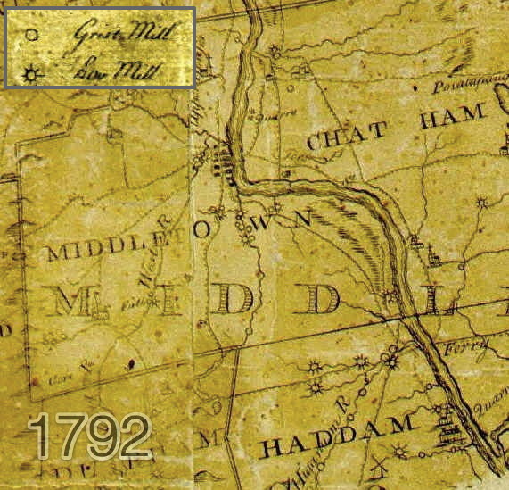
Map note: Early regional maps featured rivers and their mills just as prominently as cities and major roads, though we cannot tell directly where dams were placed. The Sumner brook system was clearly developed well by 1792. These maps also mark the "West River" — currently known as the Coginchaug. Mills along the Coginchaug apparently proliferated in the interval between thesse two maps, and Middlefield comes to merit its own label by 1811, though it became a separate town only in 1866.
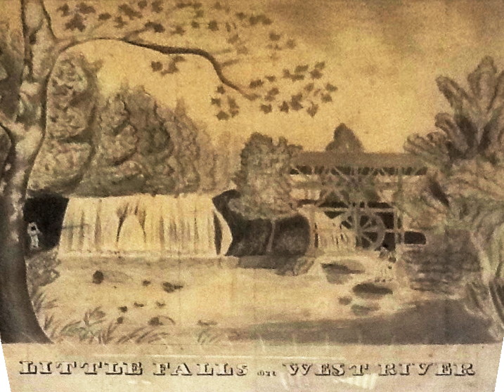

As Middletown's many waterpower locations were developed, manufacturing for trade gradually acquired a foothold. Woolen goods, paper, tools, and guns became regional specialties worthy of export. The acceleration of trade brought an interest in more efficient water power as well, and water wheels were gradually improved and then supplanted by the burgeoning techology of hydraulic turbines.
During this period, prior to the development and proliferation of steam power, Middletown (including Middlefield) was ideally poised to participate in this first era of interstate trade. This was because of a confluence of two factors: First, with its ship-building harbor on the deep waters of the tidal Connecticut River, Middletown was a major regional port beginning in the early 18th century. (Middletown made use of the developing railways for trade as well, though these did not favor Middletown particularly.) Second, due to the hilly terrain west of the river, Middletown enjoyed an abundance of available water power, which was, through the beginning of the 18th century, the unquestioned pivot on which industrial-scale manufacturing efforts rested.
In this interval of industrial innovation, Middlefield was the site of a dramatic engineering project. In 1848, a group of investors financed the construction of a major dam on the Ellen Doyle Brook, a tributary to the Coginchaug. Lake Beseck was thereby created, and a dense neighborhood of mills called "Baileyville" flourished along the path of the Ellen Doyle. In Middletown, grain milling became concentrated by large operations such as Union Mills on the Coginchaug, and more and more mill sites became dedicated to specialized manufacture. In a few locations, such as the Jackson dam low on the Coginchaug, steam power was introduced as well, though it was still a cumbersome technology.
Map notes:
- Note the mapmaker's careful attention to the depiction of flowing water as well as to the iconic representation of buildings as they might be recognized at street level.
- The "Pameacha W. Factory" depicted on this map was the Pameacha Woolen Factory; much of the surrounding rural land — by now nearly treeless — was dedicated to sheep grazing, and Connecticut wes determined to be renowned for its wool export.
- The "Rifle factory" downstream had been one of the earliest in the area (appearing on 1811 map also), but by 1825 several arms-makers and powder mills had been developed along the Coginchaug, with demand stoked by the War of 1812. The Mexican War and the Civil War both brought additional arms business to Midldetown and Middlefield.
- This 1825 map covers the City of Middletown, which was separately delimited from 1784-1923. The city boundary was the Pameacha Creek, placing several important mill sites just inside the city. The bridge here, high above Pameacha Ravine, marked a major construction project, enabling cargo to pass by land towards New Haven. As a turnpike bridge at the border of town, it would have been a likely spot for the collection of a fare: twenty-five cents per horse-drawn carriage.


At the same time as water's power was being wrung out as fully as possible, factories downtown were being built to rely on steam engines, and even the riverside industries began to supplement with steam.

With the exponential increase in demand made possible by systematic trade, local industrialists -- even those whose factories were sited and equipped for water power -- began seeking further horsepower with readily-purchased steam engines. Eventually, steam power eclipsed water power, and water power became an idle relic. By 1915, the smoking stacks of the Russell Manufacturing Company dwarf the waterworks below.
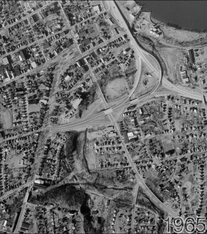
From the 1930s through the 1960s, Middletown intensified the development of its roadways for automobile traffic. In addition to devoting the west shore of the Connecticut River to a new multilane interstate highway, town engineers prioritized automobile traffic between downtown and the South Farms area, constructing raised roadways known as Acheson Drive, Main Street Extension, the Acheson Drive Connector (to what is now Route 17), and eventually Route 9. These projects required re-routing the Sumner Brook. As a result, the Sanseer Mill — built as the lowest site harnessing the Sumner Brook — now stands far from the water that once drove it.
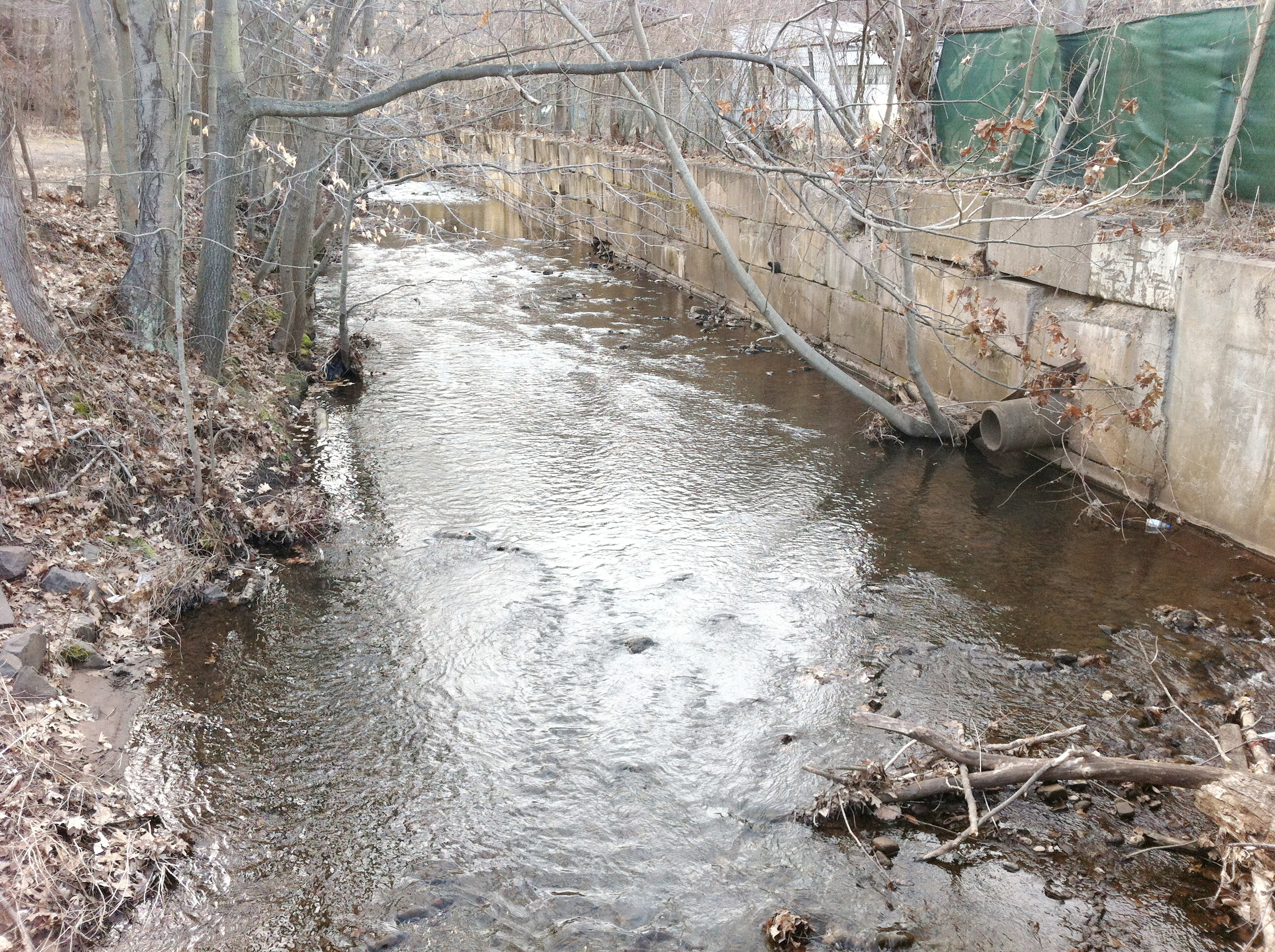
Many sections of the Sumner and Pameacha streams now flow through long tunnels as a result of automobile highway construction, as well as the expansion of Middlesex Hospital.
Roll over image with mouse to see 1965 aerial view.
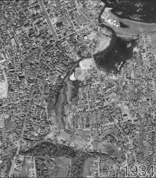
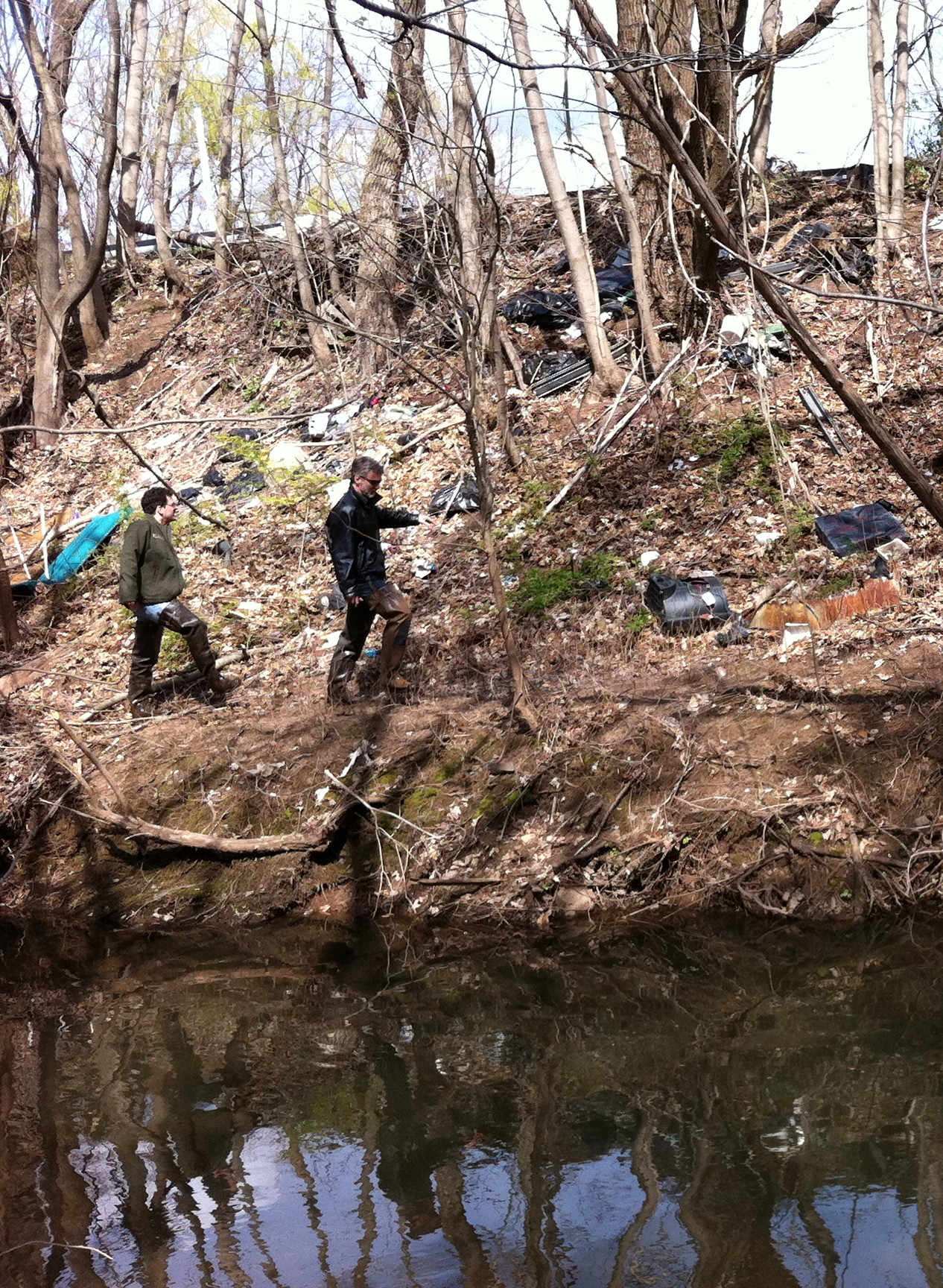
Dams radically alter the flow of water through Middletown, and yet their construction, maintenance, and removal have been left largely to private owners of the property through which a stream flows. While the erection of dams took place with great fanfare and public pride, it is difficult to find public records confirming their abandonment or removal. The remnants of industrial water power often remain out of public view, littered with discarded industrial materials.
A fresh interest in waterways and their health began to take shape even as factories and roadways continued to expand. The Connecticut River Watershed Council was founded in 1952, though its work has barely reached the smaller inland tributaries such as the Coginchaug and Sumner. Nonetheless, the second half of the 20th century has seen a dramatic increase in awareness of ecological dangers.
The water power sites of Middletown no longer host any industry at all, the construction of these dams has had more and less enduring ecological implications:
- Riparian species are replaced by still-water species.
- Fish migration is blocked by vertical drops.
- Evaporation rates increase as impounded water offers a wide unshaded surface area, and falling water generates mist.
- Sediments accumulate behind dams, retaining toxins locally that would otherwise have proceeded downstream.
More difficult to discern is the change in human culture and habits that is wrought by the industrialization of our waterways:
- Poverty in the industrial and post-industrial neighborhoods around mills has limited the political and financial leverage needed to rehabilitate rivers and streams.
- Pollution and loss of biodiversity perpetuates a mindset whereby small rivers and brooks are treated as gutters, buried underground, and cut off from public access.
Coginchaug River and Sumner Brook basins, and their Middletown / Middlefield dams


X-axis represents miles from the Connecticut River; Y-axis represents elevation in feet. (Chart is horizontally compressed approximately 1:132)

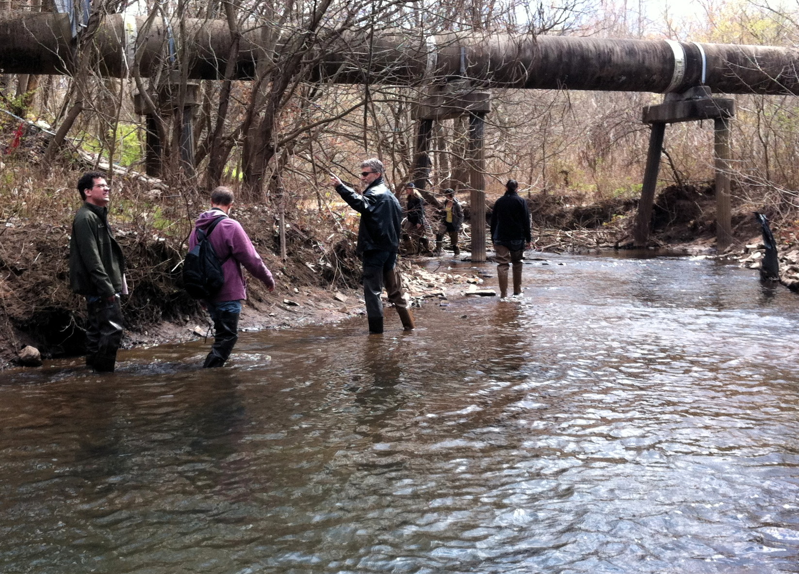
Research and production of this web resource supported by Wesleyan University's College of the Environment. Site design by Elise Springer; research collaboration by Vijay Pinch, Clark Maines, and the entire 2011-2012 team of fellows. Special thanks also to Dick Boynton for a wealth of information about water power in Middlefield.
For additional perspective on Middletown's dams, please see these sources:


